First-Timer’s Guide to Point Lobos State Natural Reserve
Hi friends! As we wrap up California State Parks Week, I’m taking you on a virtual visit to a spot often referred to as the “Crown Jewel of the California State Parks System.” Join me as we head up the central coast to explore Point Lobos State Natural Reserve.
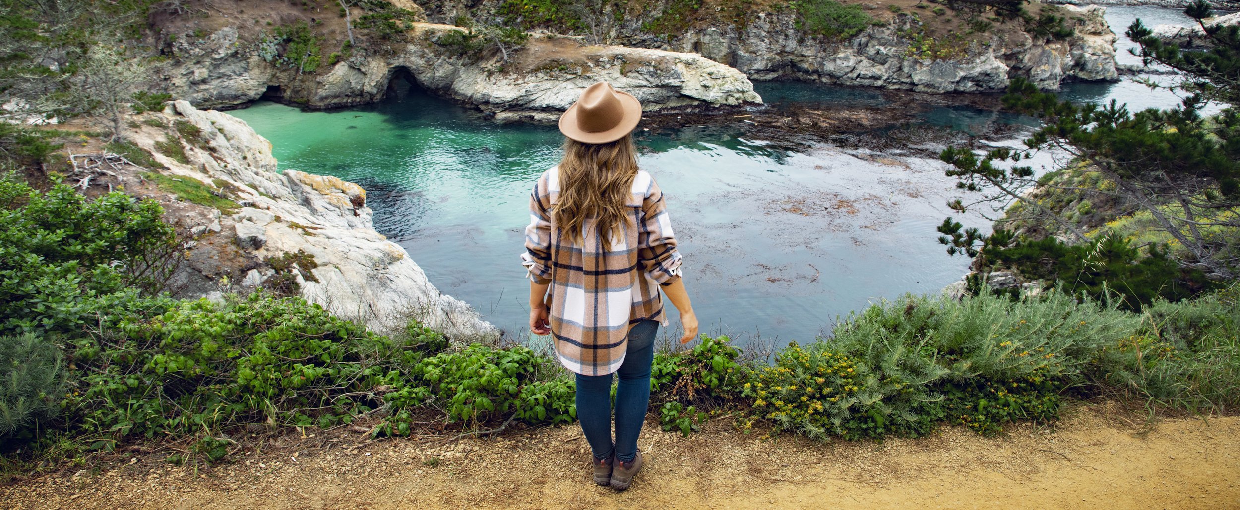
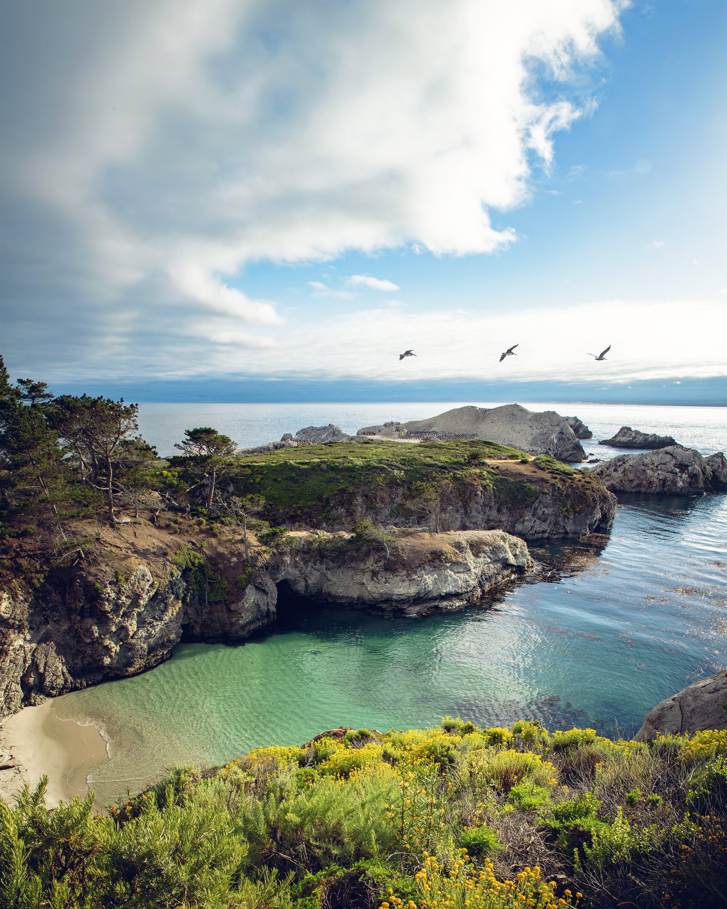
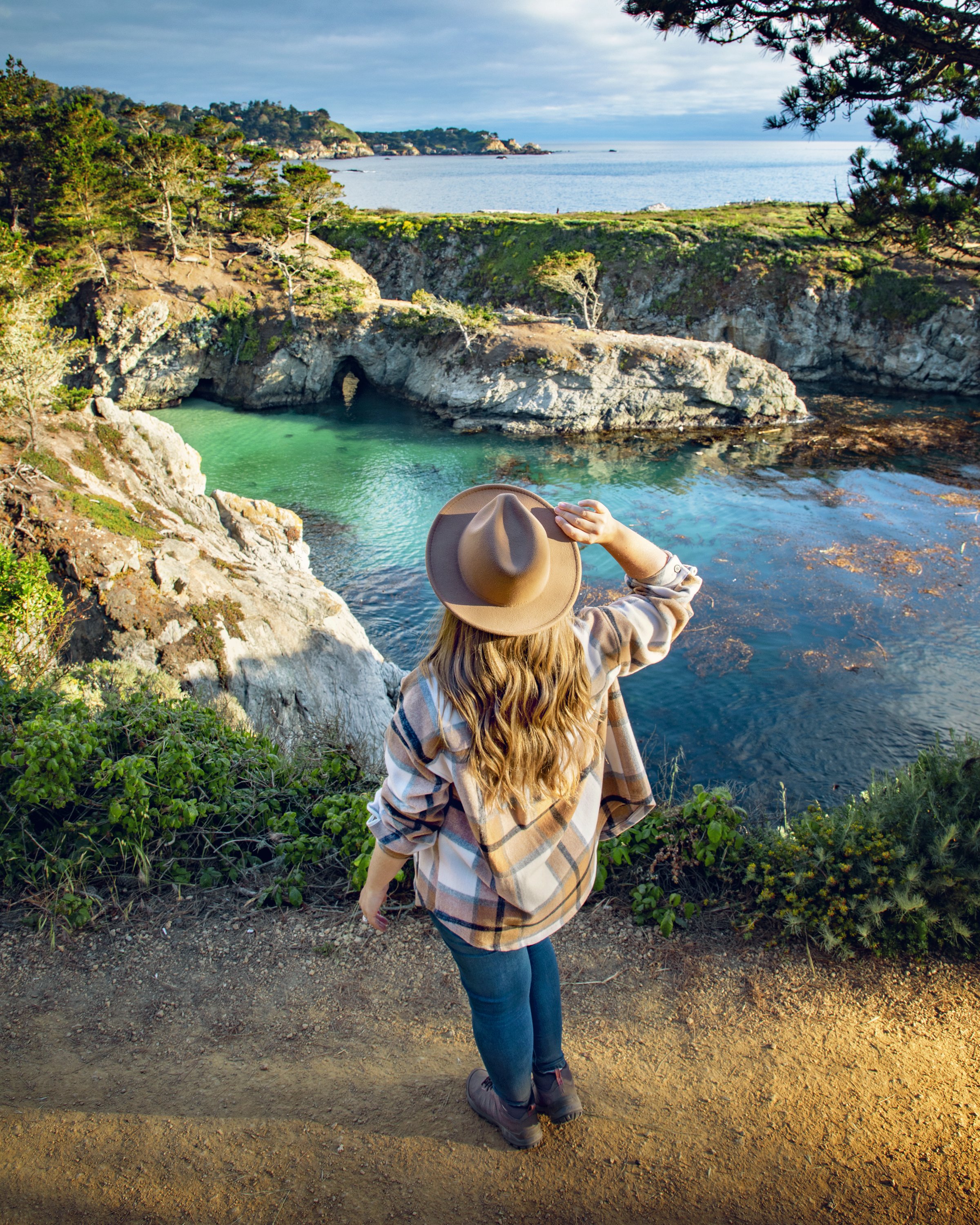
China Cove at Point Lobos State Natural Reserve
Location
Located in the charming town of Carmel-by-the-Sea, Point Lobos boasts some of the most diverse and rich marine habitats in the state. In fact, landscape artist Francis McComas referred this area as the “greatest meeting of land and water in the world.” The reserve covers a small peninsula jutting out at the southern end of Carmel Bay. From Whaler’s Cove and the North Shore Trail, you can see Pebble Beach and the town of Monterey to the North. To the south of Point Lobos, you’ll of course find the one of the most incredible stretches of coastline anywhere, Big Sur.
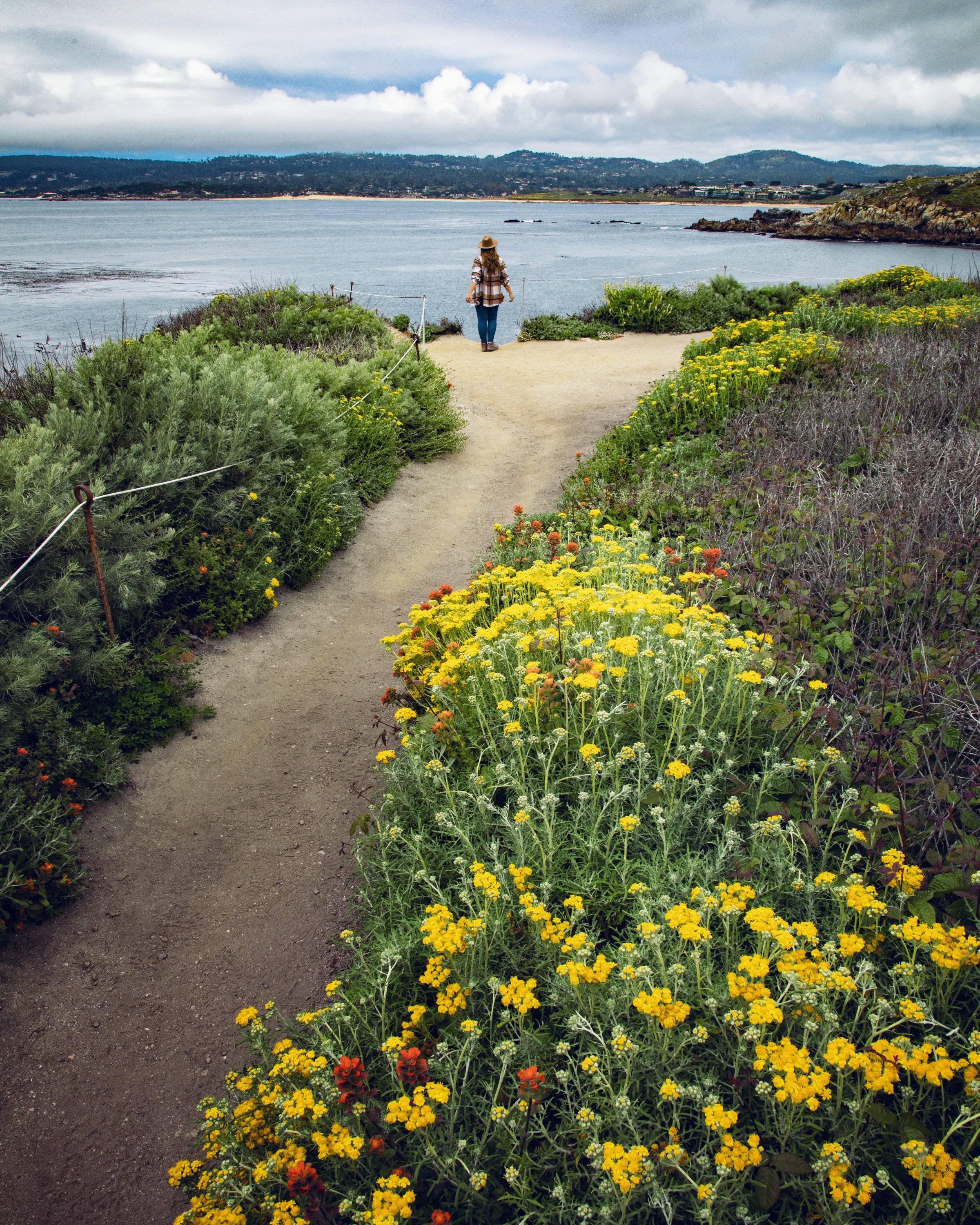
Looking across Carmel Bay to Pebble Beach from North Shore Trail
My Photography Gear
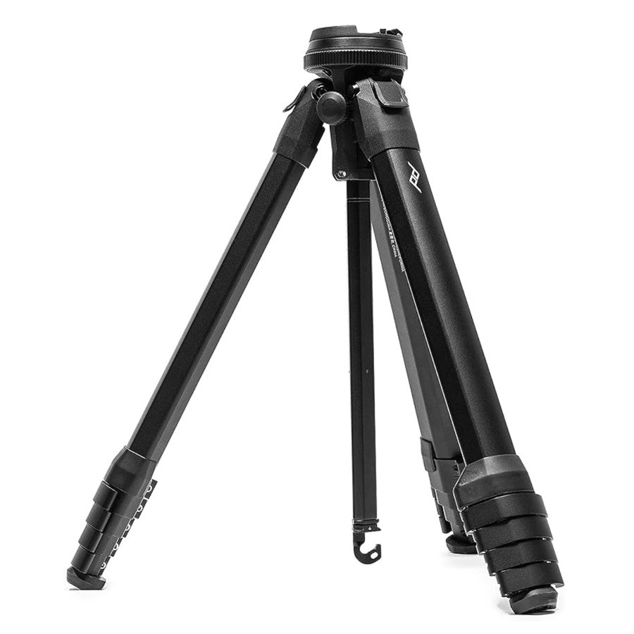
I get so many questions about what equipment we use on our adventures, so below I’ve listed out our most used photo gear 😊
If you make a purchase through these links, we may earn a small commission at no extra cost to you. This helps offset the cost of running this site so we can continue to provide you with free content.
China Cove and Pelican Point at Point Lobos State Natural Reserve
Protected Habitats
The beautiful beaches, plants, and animals you’ll encounter here are protected by the Point Lobos State Natural Reserve. However, the ocean habitat is also protected and is considered a “no-take zone”...it’s preserved by the Point Lobos State Marine Reserve, which covers over 5 square miles of the waters we see before us. In addition to that, the Point Lobos State Marine Conservation Area covers another 8 square miles which highly restricts recreational and commercial fishing within the protected area.
Whalers Cabin & Whaling Station Museum at Point Lobos State Natural Reserve
History
Native tribes, such as the Ohlone people, inhabited this area and harvested shellfish from these waters for thousands of years. In more recent centuries, this area saw many different residents and land owners, including one of the major shore-whaling stations along the California coast. The remnants of human inhabitants has almost all been removed by the state of California after they purchased this land in 1933 in an effort to preserve this important habitat.
Whalers Cabin at Point Lobos State Natural Reserve
Historic photos & artifacts inside the Whalers Cabin
Whalers Cove at Point Lobos State Natural Reserve
Whalers Cabin & Whalers Cove
A great spot within the reserve to learn more about the complicated human history in this area is the Whaler’s Cabin, which is the only historic structure the state park system left intact. The Whalers Cabin was built in the 1850s by Chinese fishermen and was one of several cabins built around the Whaler’s Cove. It housed multiple residents and operations up until 1983, when it was finally vacated and proposed to be converted into a museum. An additional small structure right next to the original cabin, called the Whaling Station Museum, was then built and opened its doors in 1994. These are both great spots to learn more about the Point Lobos rich cultural history, as well as the whaling industry that thrived in this region in the mid-to-late 1800s.
If you’re interested in scuba diving or snorkling in the park, Whalers Cove and nearby Bluefish Cove are the only two locations open for such activities. Availability is very limited and reservations must be made in advance. Check out the official Point Lobos Scuba Diving page for more information.
Looking out from Sea Lion Point along Sand Hill Trail
Sea Lion resting at Sea Lion Point
Sea Lion Point
The Point Lobos name, or Punta de los Lobos Marinos, was given by early Spanish explorers in the region. This phrase directly translates as “Point of the Sea Wolves”, undoubtedly after the large population of sea lions that inhabit the area. One of the best spots to enjoy these barking mammals is Sea Lion Point, which can be accessed by the Sand Hill and Sea Lion Point Trail. This easy loop is just under half a mile and is wheelchair accessible, making it a great spot for everyone to enjoy these panoramic coastal views.
Monterey cypress trees along Cypress Grove Trail
Old Veteran Cypress Tree in Point Lobos State Natural Reserve
Cypress Grove Trail
Just north of Sea Lion Point across Headland Cove is the Cypress Grove Trail. This is another great family friendly hike that comes in at just under a mile, and shows off the Allan Memorial Grove of Monterey cypress trees. This area is truly unique as its one of the two naturally grown stands remaining of this species on earth (the other found across the Carmel Bay at Cypress Point along 17 Mile Drive). After finishing this loop trail, make sure to take the quick 1/4 mile detour over to the Old Veteran Cypress Tree. This ancient giant clings to the cliff-side and is estimated be over 200 years old.
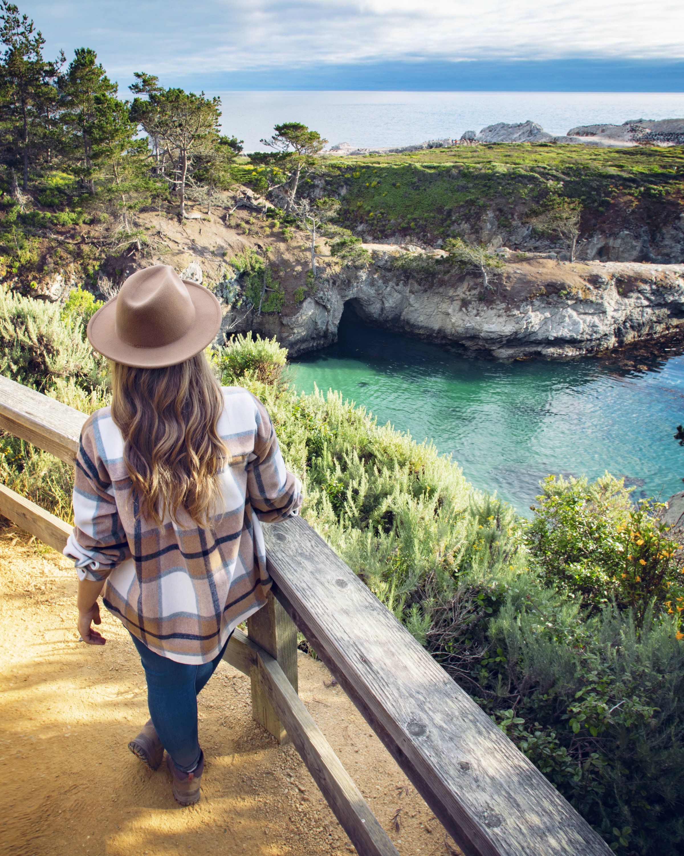
China Cove seen from Bird Island Trail
Seals resting on the beach of China Cove
Bird Island seen from Pelican Point
Bird Island Trail & China Cove
Another trail not to be missed on any Point Lobos visit is the Bird Island Trail. The trailhead is found at the southernmost parking lot in the reserve, and it leads to a lollypop loop trail at under a mile. This easy hike takes you out to Pelican Point around the picturesque China Cove. If there’s one picture you’ve seen online of Point Lobos State Natural Reserve, the image was most likely captured at China Cove...it’s known for magnificent emerald waters, sea caves, and abundant wildlife that call it home. You’ll often get to witness seals swimming through the kelp beds in search of food and basking in the sun on the small beach while getting lapped up by gentle waves.
As stunning as China Cove is, make sure to continue on the trail all the way around Pelican Point towards Bird Island. Here you’ll find abundant bird life covering the rocky formations jutting out of the seascape. There are often docents in this area with an abundance of knowledge, as well as telescopes you can look through to see the wildlife close up.
Just to the south of Pelican Point is the popular Gibson Beach. On my recent visit, the trail spur to this sandy cove was closed due to damage from recent storms.
Looking out at Bird Island from Pelican Point
Brandt’s cormorant birds nesting along Pelican Point during breeding season
Black-crowned night-heron seen along Bird Island Trail in Point Lobos SNR
Point Lobos Loop Trail
There are over a dozen hiking trails in this park with a wide range in length and difficulty. However, if you have the time, the Point Lobos Loop Trail is a great option. It combines several different trails into one and takes you on a 5 mile journey with over 700 feet in elevation along this incredible stretch of coastline.
Gibson Beach at Point Lobos State Natural Reserve
Point Lobos State Natural Reserve coastline seen from Sand Hill Trail
Know Before You Go
• Make sure to visit the official Point Lobos State Natural Reserve website for the most up-to-date trail conditions. As a result of the remarkable recent winter season, several trails and areas were damaged, causing longer than expected closures.
• There are multiple parking areas throughout the reserve, but they can each fill up quickly, especially on weekends.
• Currently the reserve hours are from 8am-7pm and the Whalers Cabin Museum is open from 9am-5pm, but make sure to check the official State Parks page for the most up-to-date information.
• You may come across signs that ask you to be quiet. Currently there are seal pups in some areas of the reserve, and the park system asks visitors to keep volume levels low to not spook or cause unnecessary stress on the mothers and their young.
• Be sure to abide by all posted signs, as they are for your safety and for the preservation of the ecosystem and the beautiful wildlife that resides in it.
• Poison oak and ticks are abundant in the area, so stay on the maintained paths and consider wearing proper clothing to protect yourself.
• Please join me in following the Leave No Trace Principles. If we leave this place better than we found it, we will be rewarded with years of natural wonder.
• If you’re interested in donating towards the preservation of this fragile ecosystem and promoting educational resources, check out the Point Lobos Foundation for more information.
Top 10 CA State Parks in the Region
Pfeiffer Big Sur State Park
Point Lobos State Natural Reserve
Año Nuevo State Park
Big Basin Redwoods State Park
Bird Island seen from Pelican Point at Point Lobos SNR
In Summary
Thank you so much for joining me this week in Carmel. For a virtual visit to Point Lobos State Natural Reserve, make sure to watch my Behind the Blog video at the top of this post, or watch it on YouTube here. Until next week, I hope you find adventure and encouragement wherever you go!
China Cove at Point Lobos State Natural Reserve
If you enjoyed this post, you might also like…
About Me
I’m Dawn Marie, a travel and lifestyle blogger based out of Southern California. With in-depth articles, travel guides, and reviews on hotels & products, I seek to share my journeys to help you plan for your own. My adventures take me all over California, the western United States, and around the globe...and every Monday I post new content here, including a comprehensive blog post and YouTube video.
Search the Blog
Featured Posts
Etsy Shop









Discover the best of Moonstone Beach in Cambria, CA, from stunning oceanfront views along its boardwalk & top restaurants on Moonstone Drive to charming hotels near the beach. Explore coastal gems like Fiscalini Ranch Preserve & Shamel Community Park, plus find the perfect place to stay, dine, and relax along California’s Central Coast. Plan your Cambria getaway with this ultimate travel guide!