Exploring the Waterfalls of Lewis Creek Trail - Oakhurst, CA
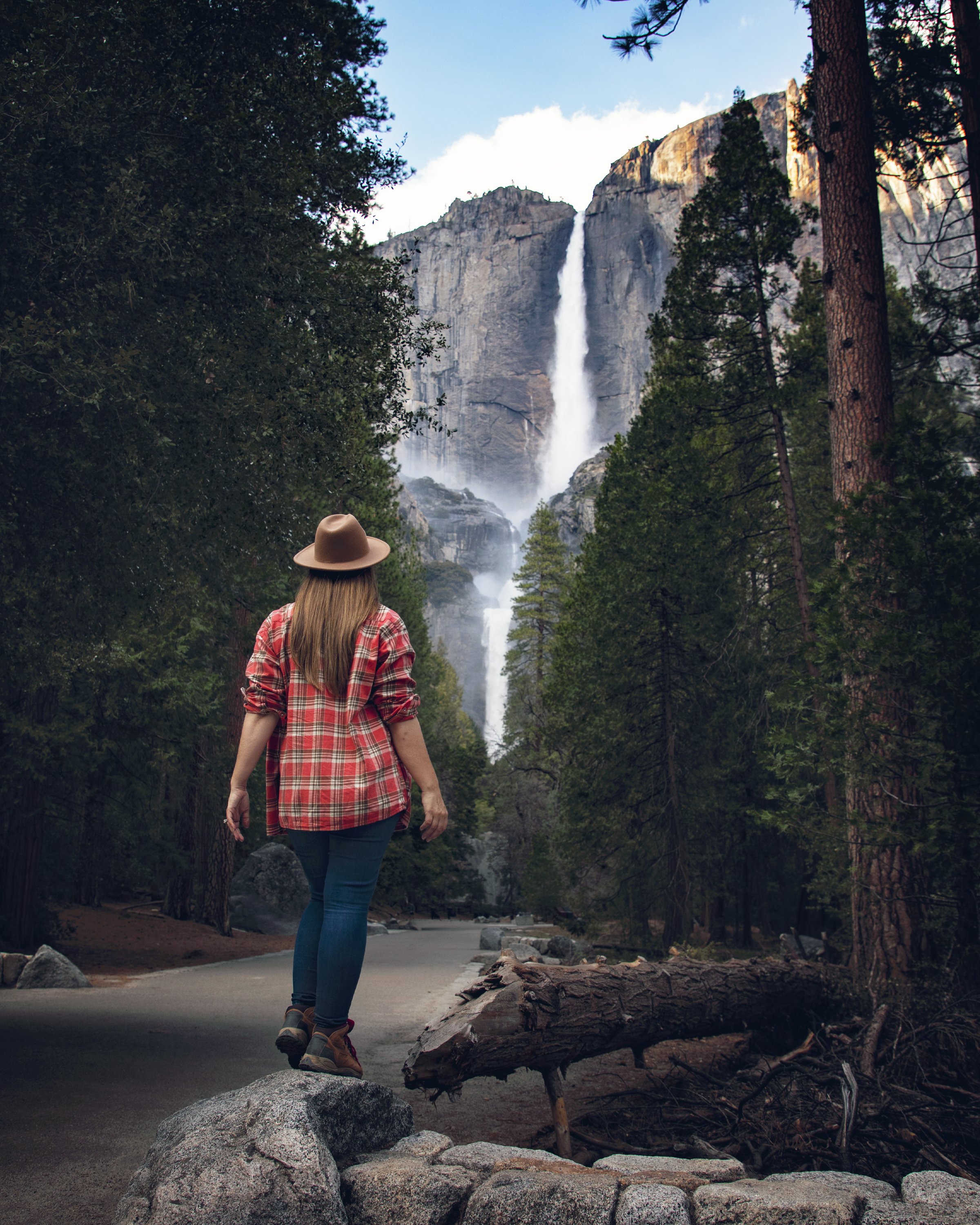
Hi Friends! Spring is officially upon us and Yosemite waterfall season is fast approaching. While there are countless incredible waterfalls found inside the park boundary, the gateway communities surrounding Yosemite National Park hold a treasure trove of natural beauty. This week I’m thrilled to explore two incredible waterfalls along Lewis Creek Trail near Oakhurst, California. Join me on an adventure in Sierra National Forest at Corlieu Falls and Red Rock Falls.
Corlieu Falls near Yosemite National Park
Location
Tucked away in the Sierra National Forest along the north end of Oakhurst, CA, Lewis Creek Trail is a hidden gem waiting to be discovered. Located just 15 miles outside of Yosemite National Park's southern entrance in the heart of California’s Sierra Nevada Mountains, Red Rock Falls and Corlieu Falls offer a captivating blend of natural beauty and serene landscapes that will leave you breathless.
Lewis Creek Trail in Sierra National Forest
Lewis Creek Trail Middle Trailhead parking lot along Highway 41
Multiple Trailheads
Lewis Creek Trail has a full length of 3.5 miles one-way with just under a 1000 ft in elevation change as it follows Lewis Creek, paralleling Highway 41. The full trail contains 3 different trailheads. The South Trailhead is located off Road 222 and offers easy access to the trail and ample parking facilities. The Middle Trailhead is located right off Highway 41 about halfway between Fish Camp and Oakhurst with a parking lot on the east side of the road big enough for a couple dozen cars. Meanwhile, the North Trailhead, which is accessible via Road 630, which has minimal parking (although often less crowded) and provides a starting point for more adventurous hikers looking to embark on longer treks. Today we’ll head out from the middle trailhead first to Corlieu Falls.
Corlieu Falls along Lewis Creek Trail south of Yosemite National Park
Foundation remnants of the Corlieu Cabin
Corlieu Falls
No visit along the Lewis Creek Trail is complete without a stop at the enchanting Corlieu Falls. Named after the pioneering Corlieu family who settled in the area in the late 1800s, these majestic falls offer a glimpse into the region's rich history and natural wonders. Charles Clifford Corlieu, also known as the “Cliff Man”, built a cabin on the cliff top above the falls here. In fact, if you hike up and explore that area, you might see foundation remnants of the structure built by this early homesteader over a century ago. Corlieu is said to have been a poet who enjoyed the seclusion and solitude of his mountain home...his son-in-law, Sam Mobley, on the other hand, was an outspoken & passionate dreamer, who some even referred to as a “con man”. He battled with the Forest Service both in and out of court for decades. Much of these lands, which he occupied at one point, were in dispute, including a rock museum and cafe that he and his wife Anel built right along HIghway 41. In fact, middle trailhead parking lot was where those buildings once stood. For more fascinating information on Sam Mobley and his long dispute with the U.S. Forest Service, check out this full article by Marie Mogge.
Lewis Creek Trail Middle Trailhead in Oakhurst, CA
Damaged viewing platform for Corlieu Falls in Oakhurst, CA
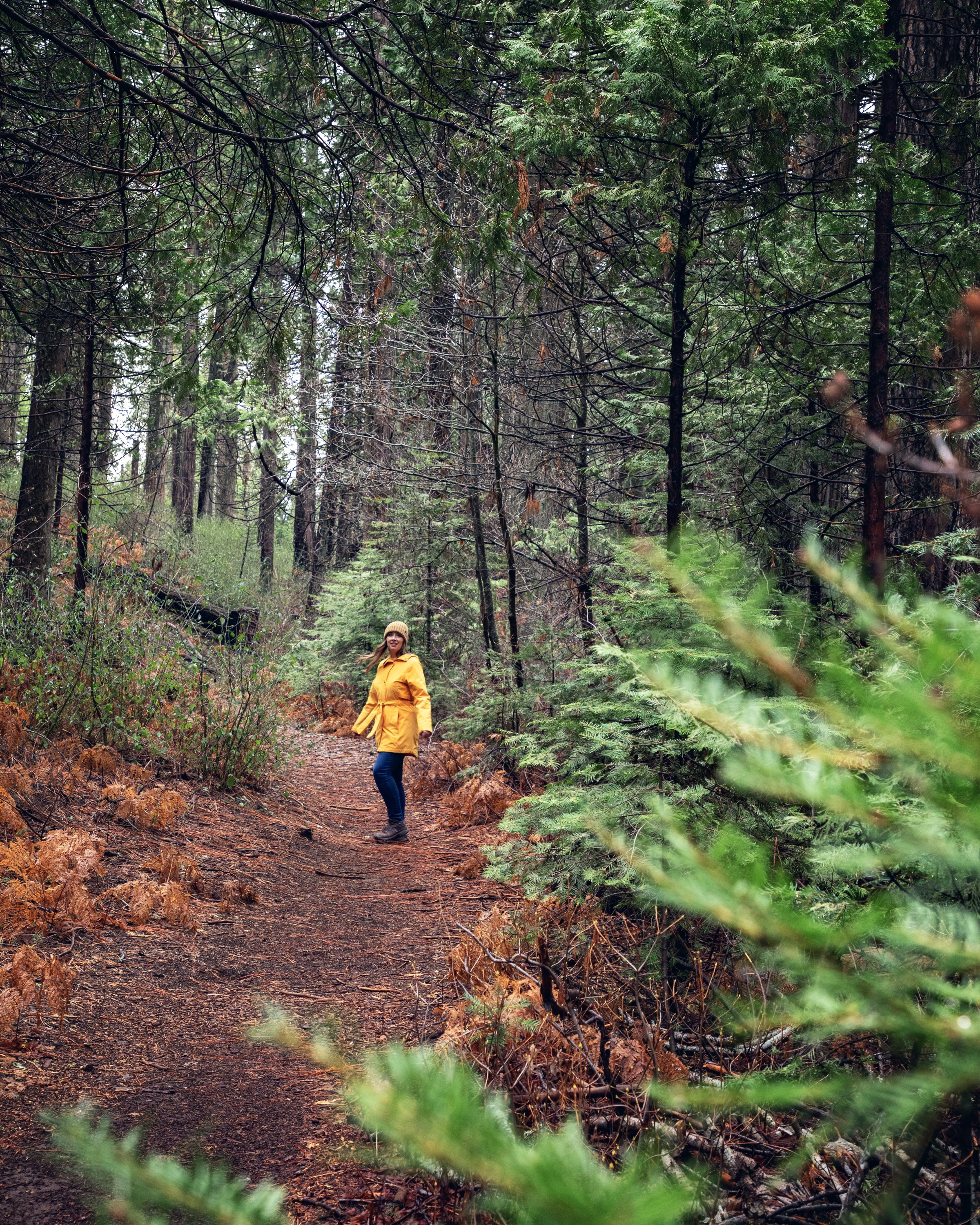
The hike starts out on a short spur trail for less than a 1/10 of a mile, which leads to the actual Lewis Creek Trail. Then a sharp right leads down nearly 300 feet in under a 1/4 of a mile (meaning the return hike back will be steep enough to get your heart pumping). The dirt path is broken up with rough stone & wooden steps, and this is a moderately challenging hike particularly because parts of the trail have sustained storm damage and downed trees. The Forest Service built a lovely viewing platform in recent years, but sadly much of the wooden viewpoint has also sustained damage...so you’ll want to explore the lookout point with caution. The cascading falls drop down 80 feet surrounded by the moss covered forest. For up-close views of this multi-tier waterfall, follow the short and steep path down from the viewing platform to the rocks surrounding the base of this waterfall where a tranquil pool forms. After enjoying the serene beauty of Corlieu Falls, you’ll want to head back north along Lewis Creek Trail for the next waterfall experience on this trail.
Crossing Lews Creek near the Middle Trailhead
Spur trail down to Red Rock Falls from Lewis Creek Trail
Red Rock Falls
Heading north past the middle trailhead spur, the path to Red Rock Falls will require you to cross Lewis Creek in order to continue. There was once a wooden bridge here (which was actually a fallen tree that was converted into a bridge), but the Forest Service had to remove it for safety reasons. In its place now, supposedly, are large boulders to assist hikers in crossing the river...if they were there, they were fully submerged due to the increased water flow. There was, however, a log to assist hikers in crossing, which may not be ideal for some hikers. In wet or icy conditions, especially, this would be a bit treacherous...so there are actually two options here: 1) If the conditions are favorable and you can cross safely, continue upstream for 1.5 miles along the trail towards the waterfall with nearly 300 ft in elevation gain. Or 2) you can hop back in your vehicle, drive up to the North Trailhead, and hike downstream to Red Rock Falls, which is only about a mile of hiking round trip with about 100 ft in elevation gain. Either route winds through lush fern lined forests beside the meandering creek and stunning rocky terrain, offering breathtaking views at every turn. As you approach the falls, the sound of rushing water grows louder, building anticipation for the spectacular sight that awaits you. Red Rock Falls is only a 20 foot drop, but it stretches about 40 ft wide (depending on water flow) cascading gracefully into a crystal-clear pool below, creating a pristine scene straight out of a postcard.
Brink of Red Rock Falls in Sierra National Forest
Red Rock Falls along Lewis Creek Trail
Know Before You Go
• On my recent Lewis Creek Trail adventure I stayed at Tenaya Lodge, which is the perfect home-base for any Yosmeite or Oakhurst adventure. For more information on my this incredible resort, see my full Tenaya at Yosemite proprty review here.
• Lewis Creek Trail is open year-round, but conditions may vary depending on the season, so be sure to check weather forecasts and trail conditions before setting out.
• It's always a good idea to wear sturdy hiking shoes, pack plenty of water and snacks, and let someone know your plans before heading out.
• Temporary Vehicle Reservations will be required to enter Yosemite this year on Saturdays & Sundays from April 13 to June 30, and then 7 days per week from July 1 to August 16. Lewis Creek Trail is a great adventure option to avoid the national park crowds and park reservation restrictions. For the most up-to-date park information, make sure to visit the official Yosemite NPS website for the latest road conditions and closures.
• Remember the Leave No Trace Principles and pack out what you pack in.
• This is black bear country. Bears, mountain lions, and other wildlife can be present on trails at any time of the day or night. Feeding and approaching wildlife is dangerous and illegal. Make sure to properly store your food. Bear canisters are required for wilderness food storage for overnight hikers.
• Be prepared for sudden and sometimes hazardous changes in weather and trail conditions.
• Be cautious when crossing swollen streams and turn back if conditions warrant. Good planning and judgment may protect you from unsafe situations and prevent the need for rescue.
• For more information on what to do in and around Oakhurst, make sure to check out the official Visit Yosemite | Madera County website at YosemiteThisYear.com
Red Rock Falls in Sierra National Forest
In Summary
Thanks so much for joining me this week inside Sierra National Forest. For a virtual visit on this waterfall hike along Lewis Creek Trail, make sure to watch my Behind the Blog video located at the top of this post, or watch it on YouTube here. Until next week, I hope you find adventure and encouragement wherever you go.
Corlieu Falls in Sierra National Forest
If you enjoyed this post, you might also like…
About Me
I’m Dawn Marie, a travel and lifestyle blogger based out of Southern California. With in-depth articles, travel guides, and reviews on hotels & products, I seek to share my journeys to help you plan for your own. My adventures take me all over California, the western United States, and around the globe...and every Monday I post new content here, including a comprehensive blog post and YouTube video.
Search the Blog
Featured Posts
Etsy Shop


When is the best time to visit Yosemite National Park? This seasonal travel guide breaks down spring, summer, fall & winter in Yosemite—what the park looks like, pros & cons of each season, top places to visit, and expert tips to help you plan the perfect road trip. Find out the best time to see raging waterfalls, fall colors, spring wildflowers, abundant wildlife, or snow-capped granite peaks.